
高沙窝镇 topographic map
Interactive map
Click on the map to display elevation.
About this map
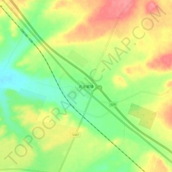
Name: 高沙窝镇 topographic map, elevation, terrain.
Location: 高沙窝镇, 盐池县, 吴忠市, 宁夏回族自治区, 中国 (37.96298 106.99843 38.04298 107.07843)
Average elevation: 4,708 ft
Minimum elevation: 4,596 ft
Maximum elevation: 4,829 ft
Other topographic maps
Click on a map to view its topography, its elevation and its terrain.