
苦水河 topographic map
Interactive map
Click on the map to display elevation.
About this map
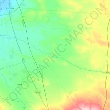
Name: 苦水河 topographic map, elevation, terrain.
Location: 苦水河, 盐池县, 吴忠市, 宁夏回族自治区, 中国 (37.33738 106.64677 37.40501 106.88804)
Average elevation: 4,734 ft
Minimum elevation: 4,396 ft
Maximum elevation: 5,453 ft
Other topographic maps
Click on a map to view its topography, its elevation and its terrain.