Geolocate

Flemington topographic map

Click on the map to display elevation.

About this map

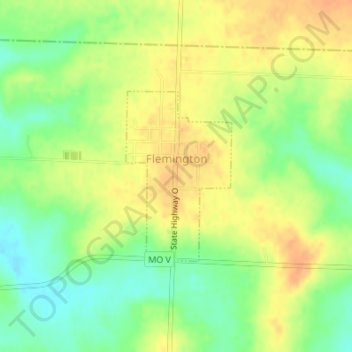
Name: Flemington topographic map, elevation, terrain.

Location: Flemington, Polk County, Missouri, United States (37.79686 -93.50624 37.80990 -93.49597)

Average elevation: 1,096 ft

Minimum elevation: 1,027 ft

Maximum elevation: 1,148 ft

Polk County trails, hiking, mountain biking, running and outdoor activities

Other topographic maps

Click on a map to view its topography, its elevation and its terrain.

Eudora

United States > Missouri > Polk County

Average elevation: 1,053 ft

Gear up for your next adventure:

🔭Compact Binoculars - HD vision for scouting terrain and identifying distant landmarks
🔋Rechargeable Batteries - Power up your outdoor devices
GPS Sports Watch - GPS watch for running, hiking and training
👖Convertible Hiking Pants - Versatile zip-off pants for changing altitudes and temperatures
🧥Waterproof Jacket for Hiking - Breathable and rugged rain jacket for outdoor excursions

As an Amazon Associate, this site earns from qualifying purchases at no extra cost to you.