
Spellbrook topographic map
Click on the map to display elevation.
About this map
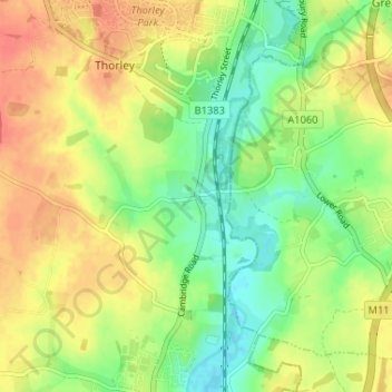
Name: Spellbrook topographic map, elevation, terrain.
Average elevation: 233 ft
Minimum elevation: 154 ft
Maximum elevation: 308 ft
Other topographic maps
Click on a map to view its topography, its elevation and its terrain.
Sawbridgeworth
United Kingdom > England > Hertfordshire > East Hertfordshire > Sawbridgeworth
Average elevation: 220 ft
Sawbridgeworth
United Kingdom > England > Hertfordshire > East Hertfordshire > Sawbridgeworth
Average elevation: 220 ft