Geolocate

Ponca topographic map

Click on the map to display elevation.

About this map

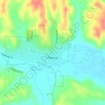
Name: Ponca topographic map, elevation, terrain.

Location: Ponca, Dixon County, Nebraska, United States (42.55498 -96.72237 42.57269 -96.69780)

Average elevation: 1,211 ft

Minimum elevation: 1,125 ft

Maximum elevation: 1,375 ft

Dixon County trails, hiking, mountain biking, running and outdoor activities

Gear up for your next adventure:

🕶️GPS Smartphone Mount - Secure mount for phone navigation
🏔️Mountain Trail Maps - High‑detail maps for popular peaks
📚USA Hiking Guide Books - Top trail guides and map books
🧥Waterproof Jacket for Hiking - Breathable and rugged rain jacket for outdoor excursions
🧢Outdoor Hiking Hat - Sun protection hat for outdoor explorers

As an Amazon Associate, this site earns from qualifying purchases at no extra cost to you.