
Opasatika topographic map
Interactive map
Click on the map to display elevation.
About this map
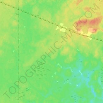
Name: Opasatika topographic map, elevation, terrain.
Location: Opasatika, Cochrane District, Ontario, Canada (49.50000 -83.07838 49.57952 -83.00000)
Average elevation: 801 ft
Minimum elevation: 751 ft
Maximum elevation: 863 ft
Other topographic maps
Click on a map to view its topography, its elevation and its terrain.