Geolocate

Ajnala topographic map

Click on the map to display elevation.

About this map

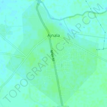
Name: Ajnala topographic map, elevation, terrain.

Location: Ajnala, Ajnala Tahsil, Amritsar, Punjab, India (31.82589 74.74804 31.85301 74.77600)

Average elevation: 751 ft

Minimum elevation: 738 ft

Maximum elevation: 761 ft

Other topographic maps

Click on a map to view its topography, its elevation and its terrain.

Chamyari

India > Punjab > Ajnala Tahsil

Average elevation: 755 ft

Gear up for your next adventure:

🗻Climbing Gear Basics - Essential gear for beginner climbers
🎁Geography Themed Gifts - Unique gift ideas for map lovers and geography enthusiasts
🦺Reflective Outdoor Gear - Safety gear for low‑light conditions
🚗GPS Dash Cams - Record your scenic drives through mountain passes and canyons
🔋Solar Power Banks - Keep your GPS and phone charged in remote wilderness areas

As an Amazon Associate, this site earns from qualifying purchases at no extra cost to you.