
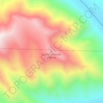
Cerro Centinela topographic map
Interactive map
Click on the map to display elevation.
About this map
Name: Cerro Centinela topographic map, elevation, terrain.
Average elevation: 6,362 ft
Minimum elevation: 5,059 ft
Maximum elevation: 7,608 ft
Other topographic maps
Click on a map to view its topography, its elevation and its terrain.
Cerro del León
Cerro del León, Departamento Picunches, NQN, Argentine
Average elevation: 6,017 ft
Cerro La Campana
Cerro La Campana, Departamento Catán Lil, NQN, Argentine
Average elevation: 4,767 ft