
Mallig topographic map
Click on the map to display elevation.
About this map
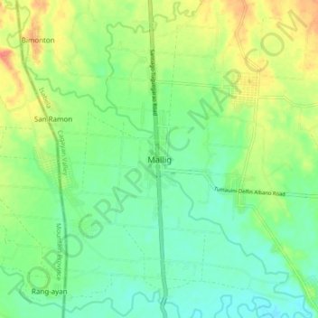
Name: Mallig topographic map, elevation, terrain.
Location: Mallig, Isabela, Cagayan Valley, 3323, Philippines (17.17121 121.57088 17.25121 121.65088)
Average elevation: 210 ft
Minimum elevation: 148 ft
Maximum elevation: 308 ft
Other topographic maps
Click on a map to view its topography, its elevation and its terrain.