
Anniston topographic map
Click on the map to display elevation.
About this map
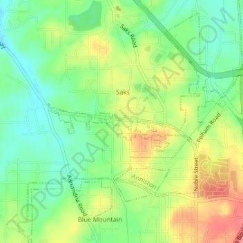
Name: Anniston topographic map, elevation, terrain.
Location: Anniston, Calhoun County, Alabama, United States of America (33.69336 -85.84967 33.69741 -85.83732)
Average elevation: 778 ft
Minimum elevation: 669 ft
Maximum elevation: 922 ft