Geolocate

Fakarava topographic map

Click on the map to display elevation.

About this map

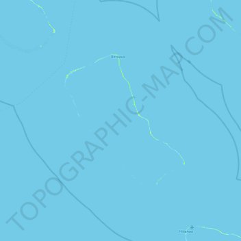
Name: Fakarava topographic map, elevation, terrain.

Location: Fakarava, Tuamotu-Gambier, French Polynesia, France (-16.73856 -146.02109 -15.84749 -145.15269)

Average elevation: 0 ft

Minimum elevation: -3 ft

Maximum elevation: 33 ft

Gear up for your next adventure:

📶Vehicle Signal Boosters - Improve reception in rural areas while driving to trailheads
🎒Gear Packing Cubes - Organize your backpack efficiently
🔌Solar Panel Charger - Charge gear sustainably outdoors
🛶Inflatable Kayak - Portable kayak for rivers, lakes, and expeditions
🪑Ultralight Camp Chairs - Portable seating for resting after a long day of mapping

As an Amazon Associate, this site earns from qualifying purchases at no extra cost to you.