
Thank you for supporting this site ❤️
Make a donation
Make a donation
Gear up for your next adventure:
As an Amazon Associate, this site earns from qualifying purchases at no extra cost to you.
Wycheproof topographic map
Click on the map to display elevation.
Thank you for supporting this site ❤️
Make a donation
Make a donation
Gear up for your next adventure:
As an Amazon Associate, this site earns from qualifying purchases at no extra cost to you.
About this map
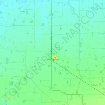
Name: Wycheproof topographic map, elevation, terrain.
Location: Wycheproof, Shire of Buloke, Victoria, 3527, Australia (-36.15701 143.14035 -35.97747 143.30890)
Average elevation: 351 ft
Minimum elevation: 322 ft
Maximum elevation: 466 ft
Thank you for supporting this site ❤️
Make a donation
Make a donation
Gear up for your next adventure:
As an Amazon Associate, this site earns from qualifying purchases at no extra cost to you.