
Raley topographic map
Interactive map
Click on the map to display elevation.
About this map
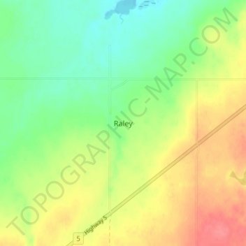
Name: Raley topographic map, elevation, terrain.
Location: Raley, Cardston County, Alberta, Canada (49.26333 -113.20333 49.30333 -113.16333)
Average elevation: 3,704 ft
Minimum elevation: 3,609 ft
Maximum elevation: 3,822 ft