Geolocate

Hopeton topographic map

Click on the map to display elevation.

About this map

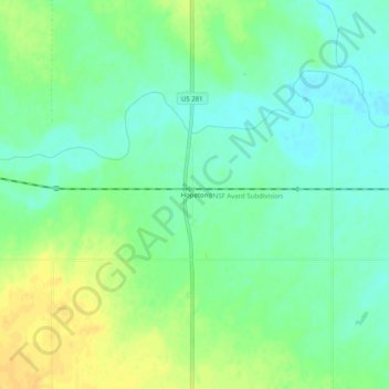
Name: Hopeton topographic map, elevation, terrain.

Location: Hopeton, Woods County, Oklahoma, 73746, United States (36.66809 -98.68592 36.70809 -98.64592)

Average elevation: 1,424 ft

Minimum elevation: 1,388 ft

Maximum elevation: 1,470 ft

Woods County trails, hiking, mountain biking, running and outdoor activities

Other topographic maps

Click on a map to view its topography, its elevation and its terrain.

Waynoka

United States > Oklahoma > Woods County

Average elevation: 1,512 ft

Avard

United States > Oklahoma > Woods County

Average elevation: 1,480 ft

Alva

United States > Oklahoma > Woods County

Average elevation: 1,430 ft

Freedom

United States > Oklahoma > Woods County

Average elevation: 1,545 ft

Alva

United States > Oklahoma > Woods County

Average elevation: 1,430 ft

Gear up for your next adventure:

📌Outdoor GPS Map App - Apps and devices for digital topographic navigation
📖Nature Tracking Books - Learn to track wildlife and terrain
🎒Waterproof Dry Bags - Keep your electronics and maps dry inside your pack
🌐World Map Poster - Decorative world maps with topographic info
🧣Hiking Neck Gaiter - Multi‑use neck protection for outdoor weather

As an Amazon Associate, this site earns from qualifying purchases at no extra cost to you.