
McNulty Lake topographic map
Interactive map
Click on the map to display elevation.
About this map
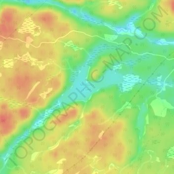
Name: McNulty Lake topographic map, elevation, terrain.
Average elevation: 610 ft
Minimum elevation: 522 ft
Maximum elevation: 682 ft
Other topographic maps
Click on a map to view its topography, its elevation and its terrain.
Wolf Lake
Canada > Ontario > Greater Madawaska
Wolf Lake, Greater Madawaska, Renfrew County, Eastern Ontario, Ontario, Canada
Average elevation: 1,201 ft