
Reusch topographic map
Click on the map to display elevation.
Reusch
Etwa einen Kilometer nordöstlich des Weilers liegt die Bossendorfer Höhe (467 m ü. NHN), 1 km südöstlich liegt die Schandtauberhöhle, die zugleich ein Naturschutzgebiet ist. Gemeindeverbindungsstraßen führen nach Bossendorf zur Landesstraße 1022 (1 km nördlich), zur L 1005 bei Leuzendorf (1,2 km westlich) und nach Bettenfeld zur Kreisstraße AN 6 (1,4 km östlich).
About this map
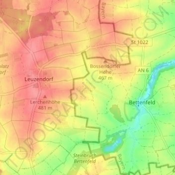
Name: Reusch topographic map, elevation, terrain.
Average elevation: 1,493 ft
Minimum elevation: 1,345 ft
Maximum elevation: 1,588 ft