
Pyramid topographic map
Click on the map to display elevation.
About this map
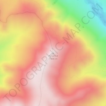
Name: Pyramid topographic map, elevation, terrain.
Location: Pyramid, Ashburton District, Canterbury, New Zealand (-43.44992 171.09622 -43.44982 171.09632)
Average elevation: 4,262 ft
Minimum elevation: 2,559 ft
Maximum elevation: 5,213 ft