
Thank you for supporting this site ❤️
Make a donation
Make a donation
Gear up for your next adventure:
As an Amazon Associate, this site earns from qualifying purchases at no extra cost to you.
Barangay Ⅴ topographic map
Click on the map to display elevation.
Thank you for supporting this site ❤️
Make a donation
Make a donation
Gear up for your next adventure:
As an Amazon Associate, this site earns from qualifying purchases at no extra cost to you.
About this map
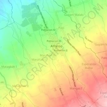
Name: Barangay Ⅴ topographic map, elevation, terrain.
Location: Barangay Ⅴ, Alfonso, Cavite, Calabarzon, 4123, Philippines (14.11526 120.83429 14.15526 120.87429)
Average elevation: 1,385 ft
Minimum elevation: 1,093 ft
Maximum elevation: 1,673 ft
Thank you for supporting this site ❤️
Make a donation
Make a donation
Gear up for your next adventure:
As an Amazon Associate, this site earns from qualifying purchases at no extra cost to you.