
Thank you for supporting this site ❤️
Make a donation
Make a donation
Gear up for your next adventure:
As an Amazon Associate, this site earns from qualifying purchases at no extra cost to you.
Mingogil topographic map
Click on the map to display elevation.
Thank you for supporting this site ❤️
Make a donation
Make a donation
Gear up for your next adventure:
As an Amazon Associate, this site earns from qualifying purchases at no extra cost to you.
About this map
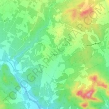
Name: Mingogil topographic map, elevation, terrain.
Location: Mingogil, Hellín, Albacete, Castille-La Manche, Espagne (38.44063 -1.76144 38.48063 -1.72144)
Average elevation: 1,506 ft
Minimum elevation: 1,312 ft
Maximum elevation: 1,854 ft
Thank you for supporting this site ❤️
Make a donation
Make a donation
Gear up for your next adventure:
As an Amazon Associate, this site earns from qualifying purchases at no extra cost to you.