Geolocate

Waco topographic map

Click on the map to display elevation.

About this map

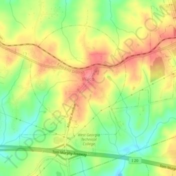
Name: Waco topographic map, elevation, terrain.

Location: Waco, Haralson County, Georgia, United States (33.68897 -85.21461 33.71339 -85.17475)

Average elevation: 1,280 ft

Minimum elevation: 1,145 ft

Maximum elevation: 1,398 ft

Haralson County trails, hiking, mountain biking, running and outdoor activities

Gear up for your next adventure:

🛌Ultralight Sleeping Bags - Compact down bags for cold nights in the wilderness
📡Handheld GPS Device - Reliable handheld GPS for outdoor navigation
Backpacking Tents - Weight-optimized shelters for multi-day topographic surveys
🔥Camping Stove - Portable stove for camping and backcountry cooking
🌲Outdoor Survival Books - Best books on survival skills

As an Amazon Associate, this site earns from qualifying purchases at no extra cost to you.