Geolocate

Nada topographic map

Click on the map to display elevation.

About this map

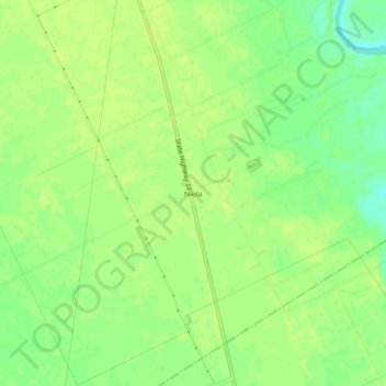
Name: Nada topographic map, elevation, terrain.

Location: Nada, Colorado County, Texas, 77460, United States (29.38497 -96.40636 29.42497 -96.36636)

Average elevation: 151 ft

Minimum elevation: 115 ft

Maximum elevation: 167 ft

Other topographic maps

Click on a map to view its topography, its elevation and its terrain.

Columbus

United States > Texas > Colorado County

Average elevation: 200 ft

Eagle Lake

United States > Texas > Colorado County

Average elevation: 177 ft

Eagle Lake

United States > Texas > Colorado County

Average elevation: 177 ft

Weimar

United States > Texas > Colorado County

Average elevation: 390 ft

Eagle Lake

United States > Texas > Colorado County

Average elevation: 177 ft

Weimar

United States > Texas > Colorado County

Average elevation: 390 ft

Eagle Lake

United States > Texas > Colorado County

Average elevation: 177 ft

Gear up for your next adventure:

🧥Waterproof Jacket for Hiking - Breathable and rugged rain jacket for outdoor excursions
🩹Survival Bandages - High‑quality bandages for emergencies
🥾Men's Hiking Boots - Durable, waterproof footwear for rugged terrain and steep inclines
🔋Solar Power Banks - Keep your GPS and phone charged in remote wilderness areas
💧Water Filtration Bottles - Safely drink from streams and lakes while exploring

As an Amazon Associate, this site earns from qualifying purchases at no extra cost to you.