
Dabwali topographic map
Click on the map to display elevation.
About this map
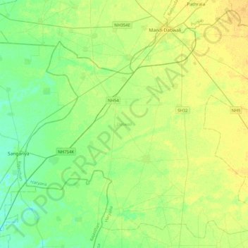
Name: Dabwali topographic map, elevation, terrain.
Location: Dabwali, Sirsa, Haryana, India (29.67162 74.47347 29.99304 74.87692)
Average elevation: 640 ft
Minimum elevation: 610 ft
Maximum elevation: 669 ft