
Thank you for supporting this site ❤️
Make a donation
Make a donation
Gear up for your next adventure:
As an Amazon Associate, this site earns from qualifying purchases at no extra cost to you.
Trapiche topographic map
Click on the map to display elevation.
Thank you for supporting this site ❤️
Make a donation
Make a donation
Gear up for your next adventure:
As an Amazon Associate, this site earns from qualifying purchases at no extra cost to you.
About this map
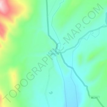
Name: Trapiche topographic map, elevation, terrain.
Location: Trapiche, Ananea, San Antonio de Putina, Puno, Peru (-14.77820 -69.43347 -14.73820 -69.39347)
Average elevation: 15,157 ft
Minimum elevation: 14,875 ft
Maximum elevation: 15,978 ft
Thank you for supporting this site ❤️
Make a donation
Make a donation
Gear up for your next adventure:
As an Amazon Associate, this site earns from qualifying purchases at no extra cost to you.