
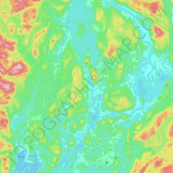
Saint-Aimé-du-Lac-des-Îles topographic map
Interactive map
Click on the map to display elevation.
About this map
Name: Saint-Aimé-du-Lac-des-Îles topographic map, elevation, terrain.
Average elevation: 843 ft
Minimum elevation: 643 ft
Maximum elevation: 1,539 ft