
五垛山 topographic map
Interactive map
Click on the map to display elevation.
About this map
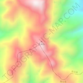
Name: 五垛山 topographic map, elevation, terrain.
Location: 五垛山, 南阳市, 河南省, 中国 (33.33983 112.20494 33.33993 112.20504)
Average elevation: 4,268 ft
Minimum elevation: 2,779 ft
Maximum elevation: 5,436 ft
Other topographic maps
Click on a map to view its topography, its elevation and its terrain.