
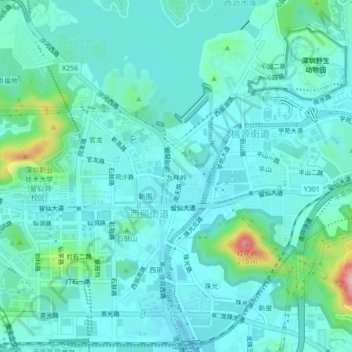
九祥岭 topographic map
Interactive map
Click on the map to display elevation.
About this map
Name: 九祥岭 topographic map, elevation, terrain.
Location: 九祥岭, 西丽街道, 南山区, 深圳市, 广东省, 518000, 中国 (22.56704 113.93114 22.60704 113.97114)
Average elevation: 121 ft
Minimum elevation: 3 ft
Maximum elevation: 722 ft
Other topographic maps
Click on a map to view its topography, its elevation and its terrain.