
Banjarsari topographic map
Click on the map to display elevation.
About this map
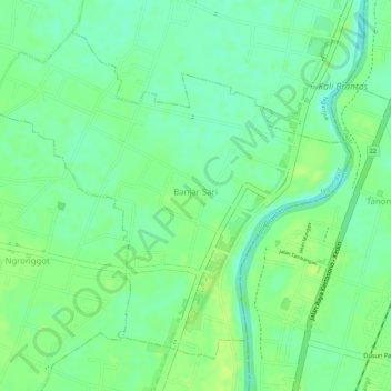
Name: Banjarsari topographic map, elevation, terrain.
Location: Banjarsari, Ngronggot, Nganjuk, East Java, Java, Indonesia (-7.68507 112.05882 -7.66254 112.08354)
Average elevation: 161 ft
Minimum elevation: 131 ft
Maximum elevation: 180 ft
Other topographic maps
Click on a map to view its topography, its elevation and its terrain.