
Dale topographic map
Click on the map to display elevation.
About this map
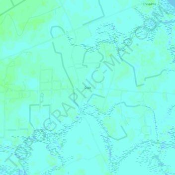
Name: Dale topographic map, elevation, terrain.
Location: Dale, Beaufort County, South Carolina, 29931, United States (32.53658 -80.70983 32.57658 -80.66983)
Average elevation: 10 ft
Minimum elevation: -3 ft
Maximum elevation: 23 ft
Beaufort County trails, hiking, mountain biking, running and outdoor activities
Other topographic maps
Click on a map to view its topography, its elevation and its terrain.
Jenkins Island
United States > South Carolina > Beaufort County > Hilton Head Island
Average elevation: 3 ft
Pocosin
United States > South Carolina > Beaufort County > Hilton Head Island
Average elevation: 13 ft