
Thank you for supporting this site ❤️
Make a donation
Make a donation
Gear up for your next adventure:
As an Amazon Associate, this site earns from qualifying purchases at no extra cost to you.
Totoras topographic map
Click on the map to display elevation.
Thank you for supporting this site ❤️
Make a donation
Make a donation
Gear up for your next adventure:
As an Amazon Associate, this site earns from qualifying purchases at no extra cost to you.
About this map
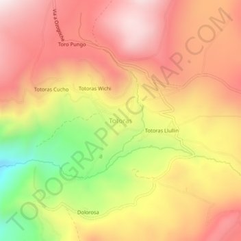
Name: Totoras topographic map, elevation, terrain.
Location: Totoras, Achupallas, Alausí, Chimborazo, Ecuador (-2.27452 -78.69219 -2.23452 -78.65219)
Average elevation: 12,461 ft
Minimum elevation: 10,928 ft
Maximum elevation: 13,481 ft
Thank you for supporting this site ❤️
Make a donation
Make a donation
Gear up for your next adventure:
As an Amazon Associate, this site earns from qualifying purchases at no extra cost to you.