
Town of Seymour topographic map
Interactive map
Click on the map to display elevation.
About this map
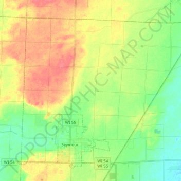
Name: Town of Seymour topographic map, elevation, terrain.
Location: Town of Seymour, Outagamie County, Wisconsin, United States (44.50030 -88.37143 44.58776 -88.21899)
Average elevation: 827 ft
Minimum elevation: 745 ft
Maximum elevation: 922 ft
Other topographic maps
Click on a map to view its topography, its elevation and its terrain.