
Make a donation
Gear up for your next adventure:
As an Amazon Associate, this site earns from qualifying purchases at no extra cost to you.
Covered Bridge topographic map
Click on the map to display elevation.
Make a donation
Gear up for your next adventure:
As an Amazon Associate, this site earns from qualifying purchases at no extra cost to you.
About this map
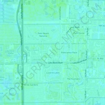
Name: Covered Bridge topographic map, elevation, terrain.
Average elevation: 30 ft
Minimum elevation: 20 ft
Maximum elevation: 43 ft
Make a donation
Gear up for your next adventure:
As an Amazon Associate, this site earns from qualifying purchases at no extra cost to you.
Other topographic maps
Click on a map to view its topography, its elevation and its terrain.
West Palm Beach
United States > Florida > Palm Beach County
Northwood Hills Historic District: On August 4, 2003, the City Commission designated the Northwood Hills neighborhood as the 13th Historic District in the City of West Palm Beach. Northwood Hills comprises the area from 29th Street on the South to 39th Court on the North. The east side of Windsor is the…
Average elevation: 13 ft
Lake Worth Beach
United States > Florida > Palm Beach County > Lake Worth Beach
Lake Worth Beach is located at 26°37′11″N 80°3′31″W / 26.61972°N 80.05861°W / 26.61972; -80.05861, bordering West Palm Beach to the north, Lake Clarke Shores to the northeast, and Lantana to the south. The municipal beach section of the city borders Palm Beach, while Lake Worth Beach is…
Average elevation: 20 ft