
Thank you for supporting this site ❤️
Make a donation
Make a donation
Gear up for your next adventure:
As an Amazon Associate, this site earns from qualifying purchases at no extra cost to you.
Danfebir topographic map
Click on the map to display elevation.
Thank you for supporting this site ❤️
Make a donation
Make a donation
Gear up for your next adventure:
As an Amazon Associate, this site earns from qualifying purchases at no extra cost to you.
About this map
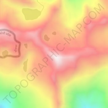
Name: Danfebir topographic map, elevation, terrain.
Location: Danfebir, Gyalshing, Gyalshing District, Sikkim, India (27.41737 88.07975 27.43737 88.09975)
Average elevation: 14,206 ft
Minimum elevation: 12,572 ft
Maximum elevation: 15,184 ft
Thank you for supporting this site ❤️
Make a donation
Make a donation
Gear up for your next adventure:
As an Amazon Associate, this site earns from qualifying purchases at no extra cost to you.