Geolocate

Cherubine topographic map

Click on the map to display elevation.

About this map

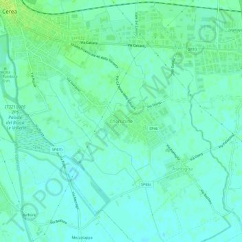
Name: Cherubine topographic map, elevation, terrain.

Location: Cherubine, Cerea, Verona, Veneto, 37053, Italia (45.15386 11.21910 45.19386 11.25910)

Average elevation: 46 ft

Minimum elevation: 30 ft

Maximum elevation: 69 ft

Gear up for your next adventure:

🌐World Map Poster - Decorative world maps with topographic info
📷Action Camera - Capture your outdoor adventures in HD
🔋Rechargeable Batteries - Power up your outdoor devices
🗃️Trail First Aid Kit - Essential kit for outdoor injuries and emergencies
🔌Solar Panel Charger - Charge gear sustainably outdoors

As an Amazon Associate, this site earns from qualifying purchases at no extra cost to you.