Geolocate

Finström topographic map

Click on the map to display elevation.

About this map

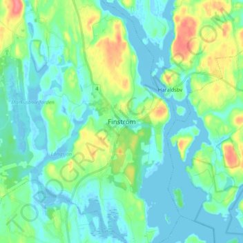
Name: Finström topographic map, elevation, terrain.

Location: Finström, Ålands Countryside, Åland Islands, 22410, Finland (60.18991 19.94806 60.26991 20.02806)

Average elevation: 49 ft

Minimum elevation: -23 ft

Maximum elevation: 203 ft

Gear up for your next adventure:

🍳Camping Cook Set - Complete cookware for outdoor meals
🎒Day Hiking Backpack - Lightweight backpack perfect for day trips and outdoor adventures
Backpacking Tents - Weight-optimized shelters for multi-day topographic surveys
🧦Hiking Socks - Comfortable socks to prevent blisters on long hikes
🏥Hiking First Aid Kits - Comprehensive medical kits for remote trail injuries

As an Amazon Associate, this site earns from qualifying purchases at no extra cost to you.