
Camarneira topographic map
Interactive map
Click on the map to display elevation.
About this map
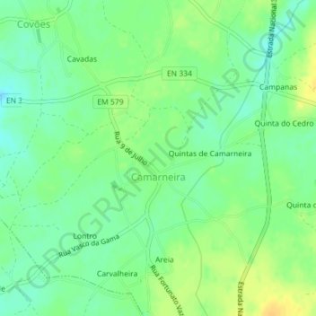
Name: Camarneira topographic map, elevation, terrain.
Location: Camarneira, Covões e Camarneira, Cantanhede, Coimbra, Portugal (40.41206 -8.60694 40.42389 -8.59494)
Average elevation: 223 ft
Minimum elevation: 184 ft
Maximum elevation: 269 ft
Other topographic maps
Click on a map to view its topography, its elevation and its terrain.