Geolocate

Wanatah topographic map

Interactive map

Click on the map to display elevation.

About this map

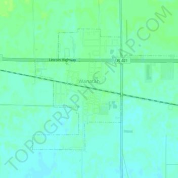
Name: Wanatah topographic map, elevation, terrain.

Location: Wanatah, LaPorte County, Indiana, 46390, United States (41.41927 -86.91083 41.43926 -86.87163)

Average elevation: 732 ft

Minimum elevation: 715 ft

Maximum elevation: 751 ft

Other topographic maps

Click on a map to view its topography, its elevation and its terrain.

Springville

United States > Indiana > LaPorte County

Springville, LaPorte County, Indiana, United States

Average elevation: 751 ft

Fish Creek

United States > Indiana > LaPorte County > Fish Lake

Fish Creek, Fish Lake, LaPorte County, Indiana, United States

Average elevation: 712 ft

Otis

United States > Indiana > LaPorte County

Otis, LaPorte County, Indiana, 46391, United States

Average elevation: 748 ft

Michigan City

United States > Indiana > LaPorte County

Michigan City, LaPorte County, Indiana, United States

Average elevation: 617 ft