
Chaca topographic map
Click on the map to display elevation.
About this map
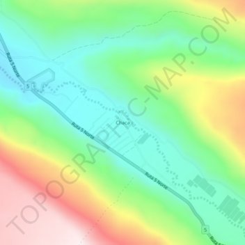
Name: Chaca topographic map, elevation, terrain.
Average elevation: 1,572 ft
Minimum elevation: 892 ft
Maximum elevation: 2,743 ft
Other topographic maps
Click on a map to view its topography, its elevation and its terrain.
Santuario de la Naturaleza y RENAMU Humedal Desembocadura Río Lluta
Chile > Arica and Parinacota Region > Provincia de Arica > Arica > Villa Frontera > Las Machas
Average elevation: 33 ft