Geolocate

Edmonton topographic map

Click on the map to display elevation.

About this map

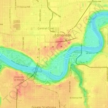
Name: Edmonton topographic map, elevation, terrain.

Location: Central Core, Edmonton, Alberta, Canada (53.51408 -113.53737 53.56115 -113.45588)

Average elevation: 2,159 ft

Minimum elevation: 2,001 ft

Maximum elevation: 2,303 ft

Gear up for your next adventure:

❄️Traction Cleats - Prevent slips on icy trails during winter hikes
🥄Camping Utensil Set - Lightweight utensils for outdoor meals
🪶Thermal Camp Blanket - Extra warmth for cold nights
🏔️Mountain Trail Maps - High‑detail maps for popular peaks
🧤Tactile Hiking Gloves - Keep hands warm while operating GPS and smartphone screens

As an Amazon Associate, this site earns from qualifying purchases at no extra cost to you.