
Thank you for supporting this site ❤️
Make a donation
Make a donation
Gear up for your next adventure:
As an Amazon Associate, this site earns from qualifying purchases at no extra cost to you.
Solima topographic map
Click on the map to display elevation.
Thank you for supporting this site ❤️
Make a donation
Make a donation
Gear up for your next adventure:
As an Amazon Associate, this site earns from qualifying purchases at no extra cost to you.
About this map
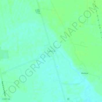
Name: Solima topographic map, elevation, terrain.
Location: Solima, Matamoros, Coahuila, 27454, Mexico (25.64288 -103.29533 25.68288 -103.25533)
Average elevation: 3,655 ft
Minimum elevation: 3,638 ft
Maximum elevation: 3,668 ft
Thank you for supporting this site ❤️
Make a donation
Make a donation
Gear up for your next adventure:
As an Amazon Associate, this site earns from qualifying purchases at no extra cost to you.