
Make a donation
Gear up for your next adventure:
As an Amazon Associate, this site earns from qualifying purchases at no extra cost to you.
Koninginnegracht topographic map
Click on the map to display elevation.
Make a donation
Gear up for your next adventure:
As an Amazon Associate, this site earns from qualifying purchases at no extra cost to you.
Koninginnegracht
De Groenebrug is van 1890. Hij is ter hoogte van het Westbroekpark en verbindt de Nieuwe Duinweg met de Haringkade. Hij heeft gietijzeren balustraden en vier driearmige sierlantaarns. Hier hebben tramlijn 10 (1e) en 14 overheen gereden.
Make a donation
Gear up for your next adventure:
As an Amazon Associate, this site earns from qualifying purchases at no extra cost to you.
About this map
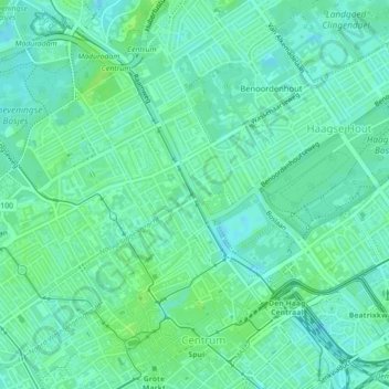
Name: Koninginnegracht topographic map, elevation, terrain.
Average elevation: 16 ft
Minimum elevation: 0 ft
Maximum elevation: 33 ft
Make a donation
Gear up for your next adventure:
As an Amazon Associate, this site earns from qualifying purchases at no extra cost to you.