
Nandini Nagar topographic map
Click on the map to display elevation.
About this map
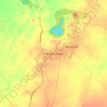
Name: Nandini Nagar topographic map, elevation, terrain.
Location: Nandini Nagar, Dhamdha Tahsil, Durg, Chhattisgarh, India (21.31348 81.36272 21.39348 81.44272)
Average elevation: 948 ft
Minimum elevation: 830 ft
Maximum elevation: 1,010 ft