
Constance Lake topographic map
Interactive map
Click on the map to display elevation.
About this map
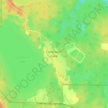
Name: Constance Lake topographic map, elevation, terrain.
Location: Constance Lake, Cochrane District, Ontario, P0L 1B0, Canada (49.78756 -84.15824 49.82756 -84.11824)
Average elevation: 797 ft
Minimum elevation: 741 ft
Maximum elevation: 853 ft