
Mirpur topographic map
Click on the map to display elevation.
Mirpur
Mirpur lies at the foothills of the Himalayas mountain range of an altitude of 648 metres or 2,126 feet above sea level and is linked with the main Peshawar-Lahore Grand Trunk Road at Dina Tehsil. It is the headquarters of Mirpur District, which has two subdivisions: Mirpur and Dudial. Mirpur is now one of the largest city of Azad Kashmir. The building of the new city in late 1960s paved the way for New Mirpur, situated on the bank of Mangla Lake.
About this map
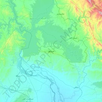
Name: Mirpur topographic map, elevation, terrain.
Average elevation: 1,237 ft
Minimum elevation: 748 ft
Maximum elevation: 4,199 ft