Geolocate

Owings topographic map

Click on the map to display elevation.

About this map

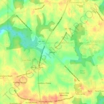
Name: Owings topographic map, elevation, terrain.

Location: Owings, Calvert County, Maryland, 20736, United States (38.69762 -76.62135 38.73762 -76.58135)

Average elevation: 115 ft

Minimum elevation: 23 ft

Maximum elevation: 190 ft

Calvert County trails, hiking, mountain biking, running and outdoor activities

Other topographic maps

Click on a map to view its topography, its elevation and its terrain.

Dunkirk

United States > Maryland > Calvert County

Average elevation: 85 ft

North Beach

United States > Maryland > Calvert County

Average elevation: 16 ft

Calvert Cliffs

United States > Maryland > Calvert County

Average elevation: 36 ft

Gear up for your next adventure:

🧢Sun Protection Hats - Wide-brimmed and UPF-rated hats for high-altitude sun safety
🔦Powerful Headlamps - Ultra-bright hands-free lighting for night navigation
📶Vehicle Signal Boosters - Improve reception in rural areas while driving to trailheads
🧭GPS Watch Accessories - Bands and chargers for GPS watches
🧭Map Reading Tools - Tools and kits for map navigation

As an Amazon Associate, this site earns from qualifying purchases at no extra cost to you.