
Make a donation
Gear up for your next adventure:
As an Amazon Associate, this site earns from qualifying purchases at no extra cost to you.
Ramos Arizpe topographic map
Click on the map to display elevation.
Make a donation
Gear up for your next adventure:
As an Amazon Associate, this site earns from qualifying purchases at no extra cost to you.
Ramos Arizpe
Ramos Arizpe has a desert climate (Köppen climate classification BWh Owing to its altitude of 1,400 to 1,500 m (4,600 to 4,900 ft) above sea level, temperatures are milder than other desert cities at lower elevations. Winters are mild with warm temperatures during the day and cold nights. The January average temperature is 11.9 °C (53.4 °F). On average, temperatures drop below freezing on 18 days per year, which can occur in the months November to April. Occasionally, it can receive snowfall. Precipitation is low during the winter months and many days are clear and sunny, averaging 20-22 clear days from December to March.
Make a donation
Gear up for your next adventure:
As an Amazon Associate, this site earns from qualifying purchases at no extra cost to you.
About this map
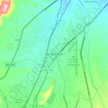
Name: Ramos Arizpe topographic map, elevation, terrain.
Location: Ramos Arizpe, Coahuila, 25900, Mexico (25.50079 -100.98667 25.58079 -100.90667)
Average elevation: 4,678 ft
Minimum elevation: 4,386 ft
Maximum elevation: 5,761 ft
Make a donation
Gear up for your next adventure:
As an Amazon Associate, this site earns from qualifying purchases at no extra cost to you.