Geolocate

Riceford topographic map

Click on the map to display elevation.

About this map

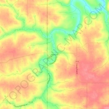
Name: Riceford topographic map, elevation, terrain.

Location: Riceford, Houston County, Minnesota, United States (43.55608 -91.74682 43.59608 -91.70682)

Average elevation: 1,135 ft

Minimum elevation: 938 ft

Maximum elevation: 1,250 ft

Houston County trails, hiking, mountain biking, running and outdoor activities

Other topographic maps

Click on a map to view its topography, its elevation and its terrain.

La Crescent

United States > Minnesota > Houston County

Average elevation: 758 ft

Hokah

United States > Minnesota > Houston County

Average elevation: 771 ft

Eitzen

United States > Minnesota > Houston County

Average elevation: 1,122 ft

Brownsville

United States > Minnesota > Houston County

Average elevation: 810 ft

Gear up for your next adventure:

🔭Compact Binoculars - HD vision for scouting terrain and identifying distant landmarks
🔥Camping Stove - Portable stove for camping and backcountry cooking
🎒Trekking Poles - Sturdy poles for balance and stability on rough terrain
🧺Microfiber Travel Towels - Compact and fast-drying towels for trail use
🌡️Portable Weather Meter - Track weather conditions on the trail

As an Amazon Associate, this site earns from qualifying purchases at no extra cost to you.