
Getalsud topographic map
Click on the map to display elevation.
About this map
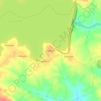
Name: Getalsud topographic map, elevation, terrain.
Location: Getalsud, Angara, Ranchi District, Jharkhand, 835219, India (23.42547 85.52568 23.46547 85.56568)
Average elevation: 1,903 ft
Minimum elevation: 1,788 ft
Maximum elevation: 2,008 ft