Geolocate

Velur topographic map

Click on the map to display elevation.

About this map

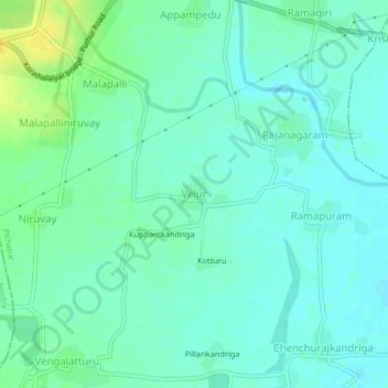
Name: Velur topographic map, elevation, terrain.

Location: Velur, Pichatur, Tirupati, Andhra Pradesh, 517587, India (13.35855 79.73387 13.39855 79.77387)

Average elevation: 240 ft

Minimum elevation: 217 ft

Maximum elevation: 295 ft

Gear up for your next adventure:

🛌Ultralight Sleeping Bags - Compact down bags for cold nights in the wilderness
🔥Camping Stove - Portable stove for camping and backcountry cooking
🛏️Cold Weather Sleeping Bag - Warm sleeping bag for cold conditions
🧣Hiking Neck Gaiter - Multi‑use neck protection for outdoor weather
🧼Biodegradable Camping Soap - Eco‑friendly soap for outdoor hygiene

As an Amazon Associate, this site earns from qualifying purchases at no extra cost to you.