Geolocate

Paing topographic map

Click on the map to display elevation.

About this map

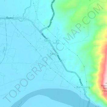
Name: Paing topographic map, elevation, terrain.

Location: Paing, Bantay, Ilocos Sur, Ilocos Region, Philippines (17.55815 120.43069 17.59815 120.47069)

Average elevation: 213 ft

Minimum elevation: 10 ft

Maximum elevation: 1,634 ft

Gear up for your next adventure:

🕶️GPS Smartphone Mount - Secure mount for phone navigation
🥾Hiking Shoes - Durable and comfortable shoes for trail hiking
🪶Multi‑Purpose Knife - Useful blade for camp and trail
👟Men's Trail Runners - Lightweight footwear for fast-paced exploration and light hiking
🧭Orienteering Set - Complete compass and map reading kit

As an Amazon Associate, this site earns from qualifying purchases at no extra cost to you.