
Channel Islands topographic map
Interactive map
Click on the map to display elevation.
Channel Islands
The Channel Islands at low elevations are virtually frost-free and constitute one of the few such areas in the 48 contiguous US states. It snows only rarely, on higher mountain peaks.
About this map
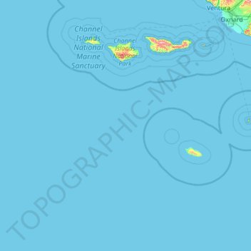
Name: Channel Islands topographic map, elevation, terrain.
Average elevation: 13 ft
Minimum elevation: 0 ft
Maximum elevation: 2,260 ft
Santa Barbara County trails, hiking, mountain biking, running and outdoor activities
Other topographic maps
Click on a map to view its topography, its elevation and its terrain.
North Santa Maria
United States > California > Santa Barbara County > Santa Maria
Average elevation: 213 ft
Jalama Beach County Park
United States > California > Santa Barbara County > Jalama
Average elevation: 131 ft
Shoreline Park
United States > California > Santa Barbara County > Santa Barbara
Average elevation: 69 ft
Las Positas Meadows
United States > California > Santa Barbara County > Santa Barbara
Average elevation: 217 ft